

I used GBIF to generate my starting list of plants and animals that have been reported in Ponte Vedra and Ponte Vedra Beach. However, I disagreed with the official boundary as pertains to nature. It was missing a huge wedge directly across the river from my station at the GTM Reserve. Neighbors from that zone regularly come to GTM to learn about what they see from their backyard.
Since this is my story for my neighbors, I took the liberty of drawing my own nature frame. I chose the span from the county line to Vilano Beach, about the width of the barrier island and as much into the ocean.
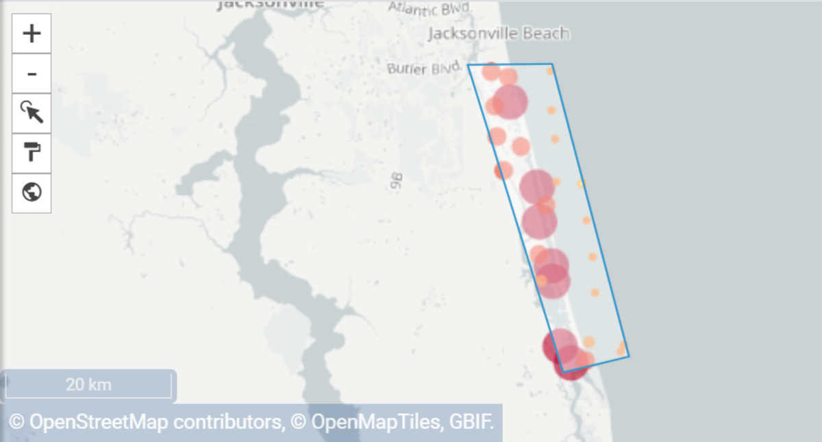
If you want to re-draw this map on GBIF, put these coordinates in your URL like so:
https://www.gbif.org/occurrence/map?geometry=POLYGON((-81.33244 30.25779,-81.42994 30.25696,-81.31947 29.90201,-81.24371 29.92039,-81.33244 30.25779))Don’t be fooled by the line breaks it’s all one long run-on sentence.